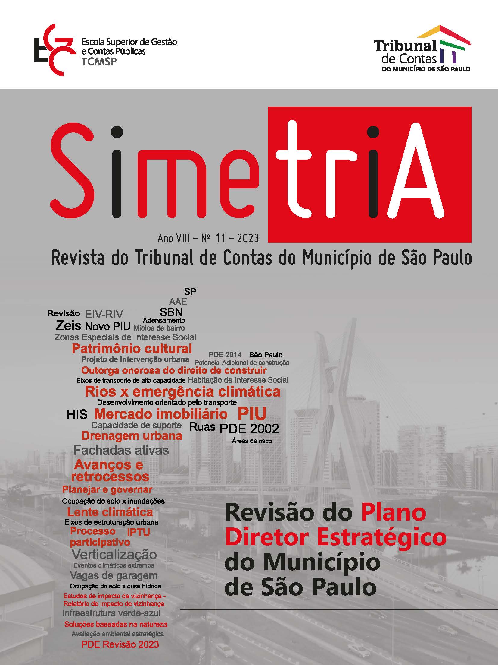
Urban Drainage in the City of São Paulo
From the Construction of Today’s Scenario to the Challenges of the Master Plan
DOI:
https://doi.org/10.61681/revistasimetria.v1i11.160Keywords:
Master Plan, Floods., Urban drainageAbstract
The problem of urban flooding is recurrent in the city of São Paulo and is a direct consequence of the model of urban occupation that was designed throughout the 19th and 20th centuries, disregarding the natural behaviour of watercourses and having the road axis constituted of “valley bottom” roads, where rivers were rectified and buffered. This essay provides a historical overview of the occupation of the city of São Paulo, the consequences of the model adopted for the watersheds in São Paulo,and outlines, in a scenario of revision of the master plan of the city of São Paulo, a model of public policies of territorial order connected to the urban drainage system, to rural areas, guided by increased environmental sustainability, resilience to extreme events and, above all, aligned with the challenges imposed by the climate agenda and the needs of urban development.
Downloads
References
FALCETTA, F. A. M. (Coord.). Manual de procedimentos metodológicos: delimitação de planícies de inundação e de áreas inundáveis. São Paulo: IPT, 2023 (livro eletrônico).
SÃO PAULO (Município). Geosampa: mapa digital da cidade de São Paulo. São Paulo: Prefeitura de São Paulo, [2023]. Disponível em: <https://geosampa.prefeitura.sp.gov.br/
PaginasPublicas/_SBC.aspx>. Acesso em: 15 abr. 2023.
Downloads
Published
How to Cite
Issue
Section
License
Copyright (c) 2023 Revista Simetria do Tribunal de Contas do Município de São Paulo

This work is licensed under a Creative Commons Attribution-NonCommercial-ShareAlike 4.0 International License.


